Windy.app for fishing
Every fishing feature in the app — what it shows, and how to read it.
If you need a more general guide, see The guide to Windy.app.
Water Depth
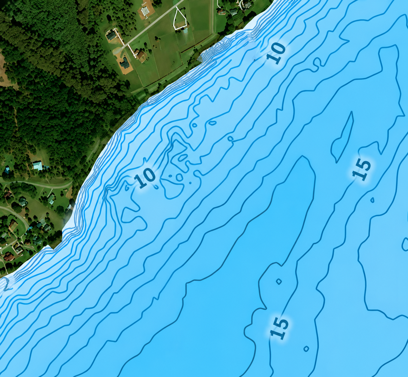
What it is
A bathymetry layer: contour lines showing the shape of the bottom on lakes, rivers and coastal water.
Why it helps
Depth drives light, temperature, oxygen, food and your own safety. Fish gather where the terrain changes — ledges, channels, drop-offs, holes — so this layer turns a whole waterbody into a short list of areas worth checking.
What to look for
- Lines close together — depth changes fast. That's an edge: a ledge, a drop-off, a channel wall.
- Lines far apart — flatter bottom, less to hold fish.
- On lakes and rivers, the same logic applies to holes, bends, channels, and places where the current changes.
Enable it on the map screen.
↑ All featuresFish Heatmap
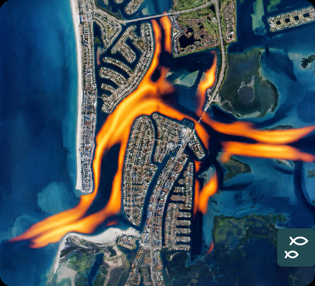
What it is
A layer derived from the depth map. It highlights areas where the bottom changes sharply. Built on depth only.
Why it helps
It does the contour reading for you: structure at a glance, instead of judging line spacing yourself.
What to look for
Highlighted areas mark a sharp change in terrain — most likely to hold fish. Coverage is regional, so the layer isn't available everywhere yet.
Water Temperature
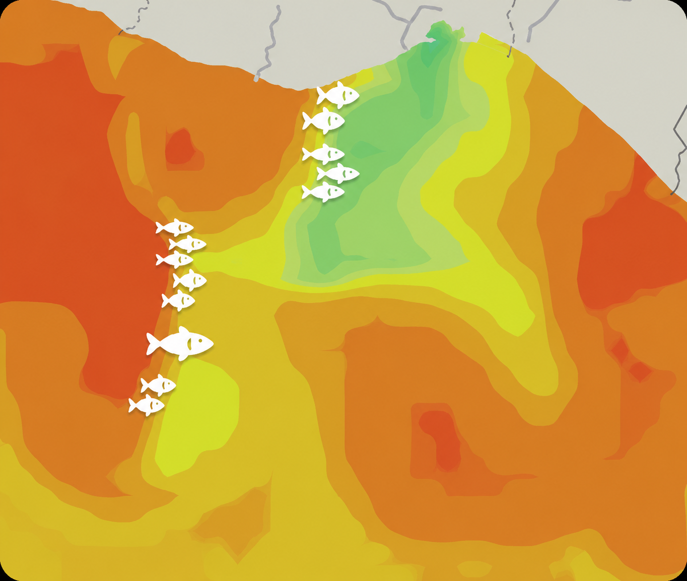
What it is
A water temperature layer. Sea and lake temperature layers are separate.
Why it helps
Depth tells you where fish may be in general. Temperature tells you where they may be today — warm enough for them to stay active, cool enough to hold oxygen, comfortable for their food too.
What to look for
- Absolute values, against the range your target species tolerates.
- Places where temperature changes fast over a short distance. These fronts are boundaries between water masses — baitfish gather along them, and predators follow.
Chlorophyll
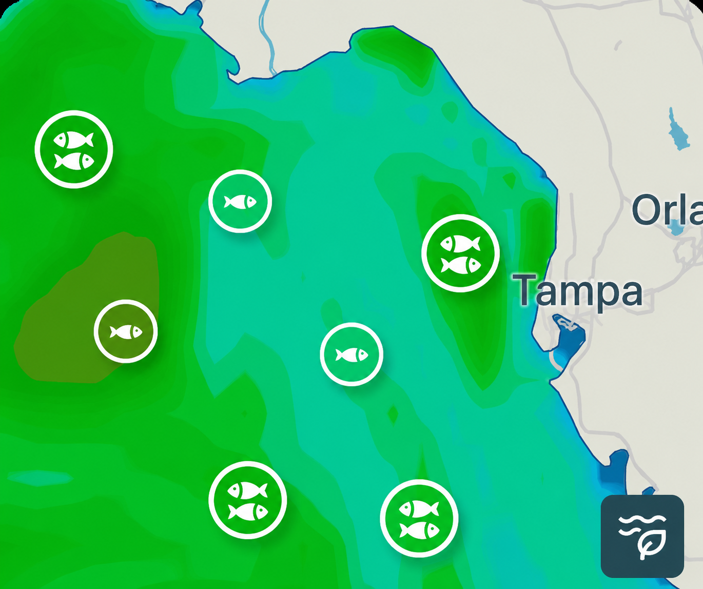
What it is
A chlorophyll layer — in practice, a measure of how much phytoplankton is in the water.
Why it helps
The chain runs phytoplankton → zooplankton → baitfish → larger predators, so this shows you which stretch of water is productive.
What to look for
- Not the highest reading. The useful signal is the edge — the boundary between more productive and cleaner water.
- Whether that edge sits near a temperature break. Where the two line up, you have a strong candidate.
Fishing spots
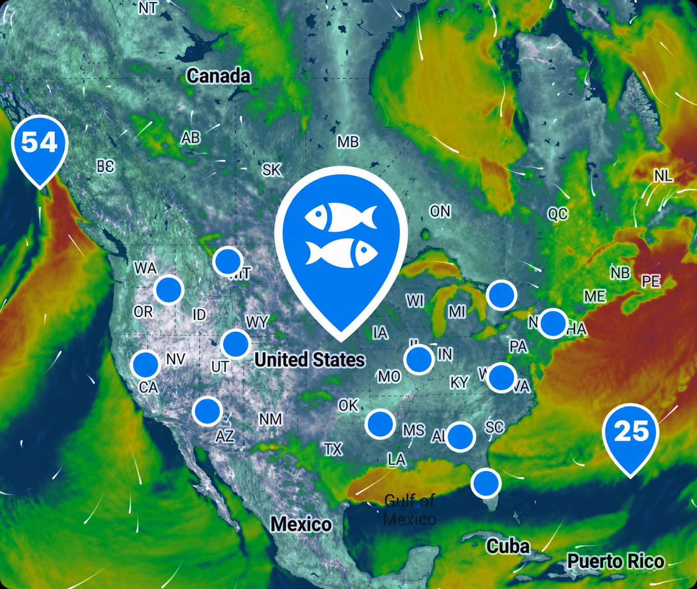
What it is
Official fishing spots, marked with a two-fish icon. They give fishing-specific data: Solunar score, hourly fish activity, weather, temperature and pressure — plus the way into Fish Library, Catch reports and Spot info.
Why it helps
Any point on the map gives you a forecast. A spot adds local context: species, catches, and what kind of place it is. That matters most at water you don't know.
What to look for
- The hourly fish activity forecast.
- Weather forecasts — will the conditions work for you?
- Pick the weather model and learn how it behaves at your water to get the most accurate forecasts.
Sea state
What it is
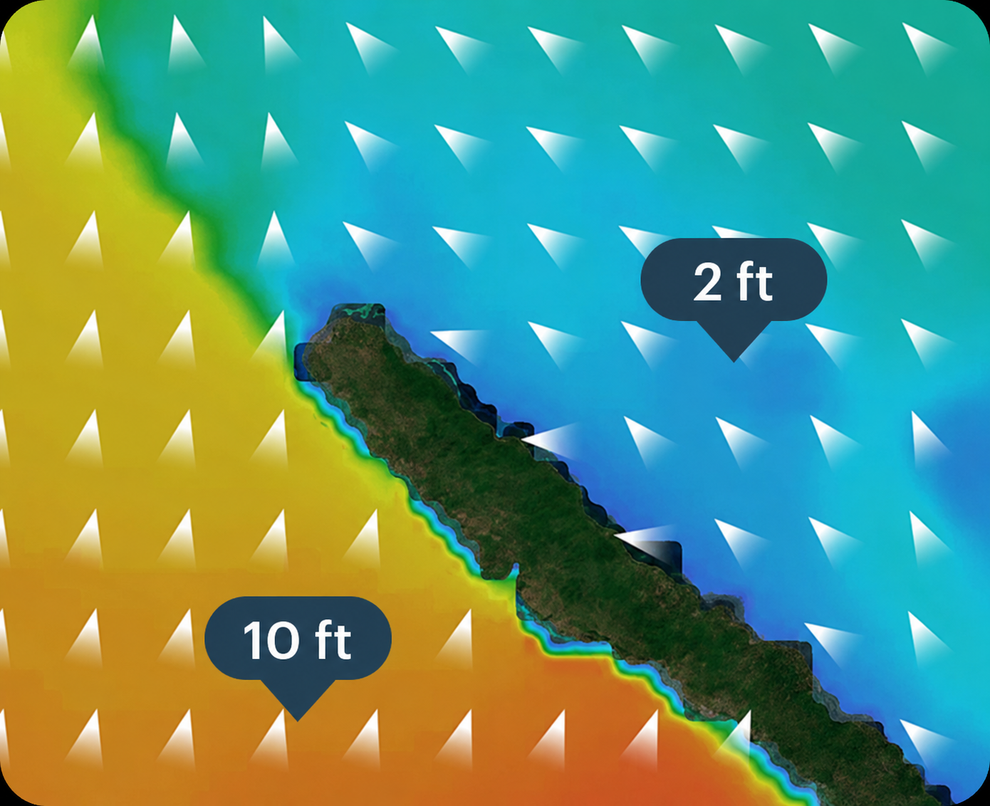
Wave height and direction on the map, plus surface currents.
Why it helps
Sea state decides whether a spot is fishable at all, and which side of it works. Two feet on the sheltered side of a headland and ten on the exposed side is a normal spread within the same hour.
What to look for
- Sea state — to check whether the conditions suit your boat or fishing style.
- The difference across a headland or an island.
- Currents, if you're drifting or anchoring.
Tides
What it is
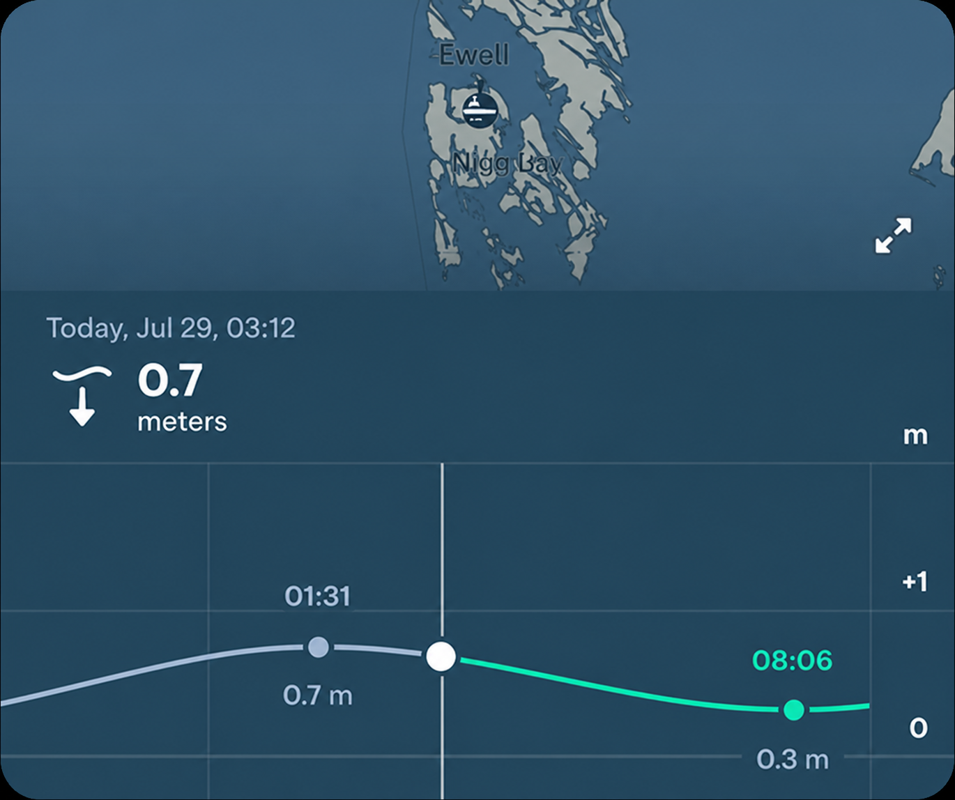
Tide times and heights along the coast — when the water rises and falls, and by how much.
Why it helps
In saltwater, feeding follows moving water. An incoming tide pushes water onto flats and marshes; an outgoing one drains bait out of creeks and cuts. Both work — what matters is movement, not whether it's called high or low.
What to look for
- Tide stations near your spot on the map, marked with a buoy icon. Each is a local forecast for that exact point, which beats a general estimate on a complex shoreline.
- How far the nearest station sits from where you'll fish. The closer, the better it transfers.
- No station in your area? The tide row in the meteogram is the baseline forecast.
Look for the buoy icons on the map, or check the general forecast on a spot screen.
↑ All featuresWind
What it is
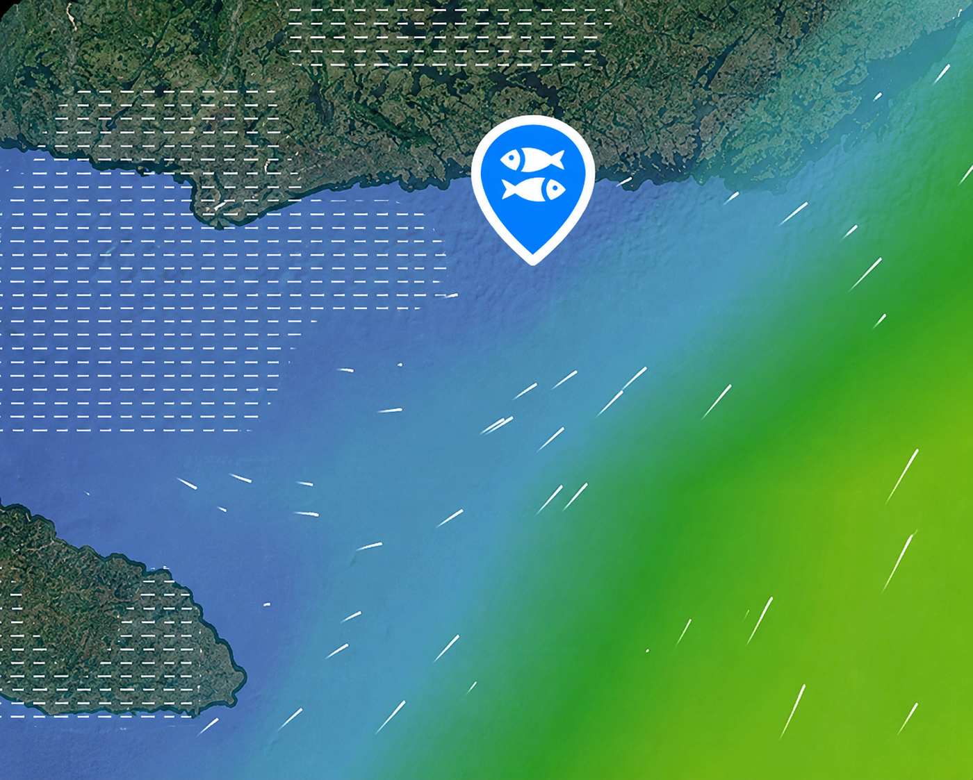
Wind and gust forecast.
Why it helps
Wind decides two separate things: how fish behave, and whether you can fish comfortably — or safely — at all.
What to look for
- Light to moderate wind — ripple on the surface, bait pushed downwind, less cautious fish.
- Strong wind and gusts — casting, drifting and boating get harder, and sometimes unsafe. Gusts are what you actually have to fish in.
- Direction — it shows which shorelines are exposed and which are protected.
Precipitation & radar
What it is
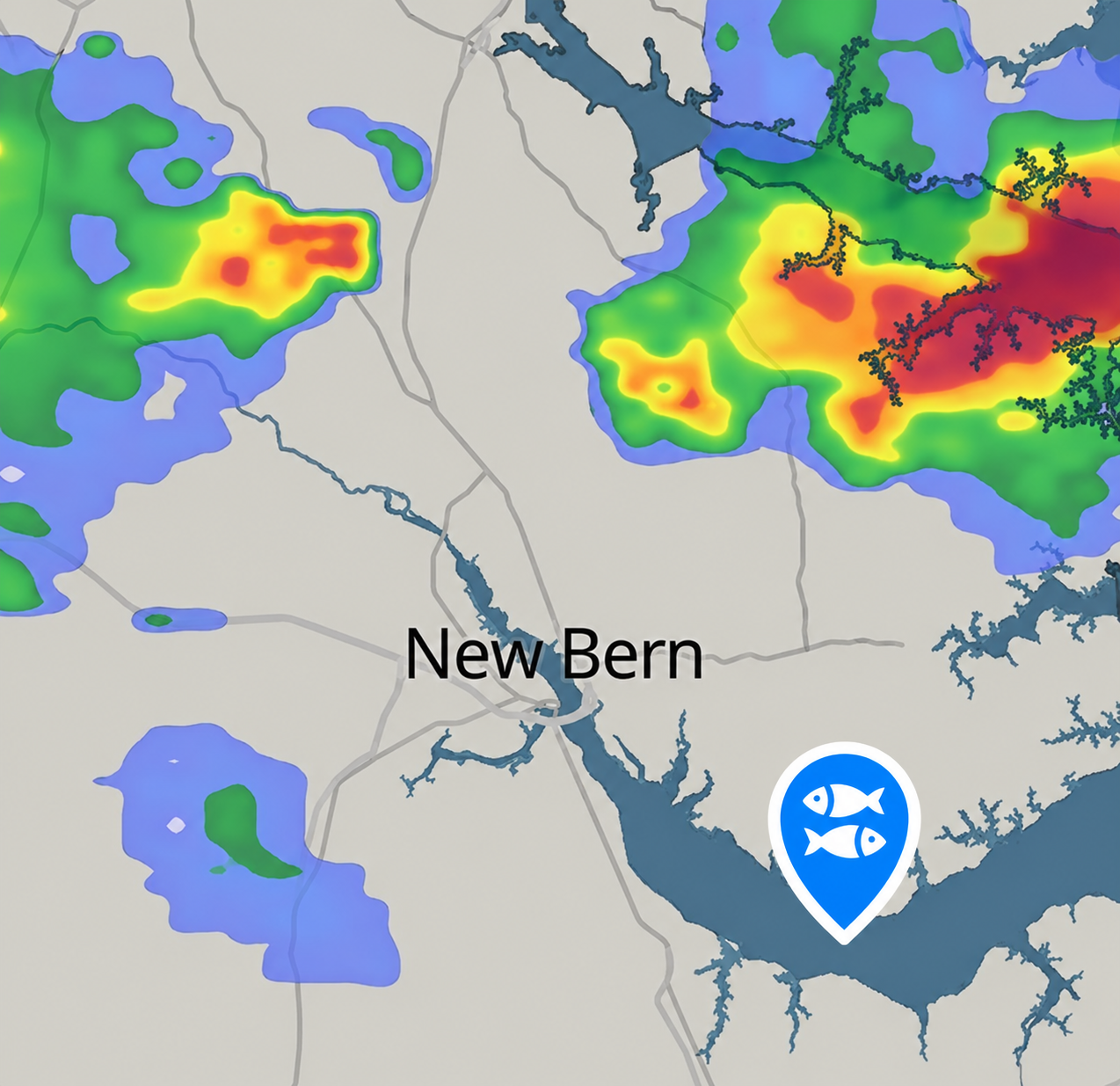
Two separate layers. Precipitation forecasts rainfall hours and days ahead. Radar shows where rain is falling right now — measured, not modelled — plus a nowcast for the next two hours.
Why it helps
A little rain is rarely a problem, and fish often feed well just before it arrives. Heavy rain or a thunderstorm changes the plan. Precipitation is for planning the trip; radar is for deciding whether to launch.
What to look for
- On precipitation, how much is coming and when. A band passing before you arrive is a different plan from steady rain all afternoon.
- On radar, which way the cells are moving relative to your spot, not just where they sit now.
- Run the radar again before you leave — cells build in less time than the drive takes.
Fish Library
What it is
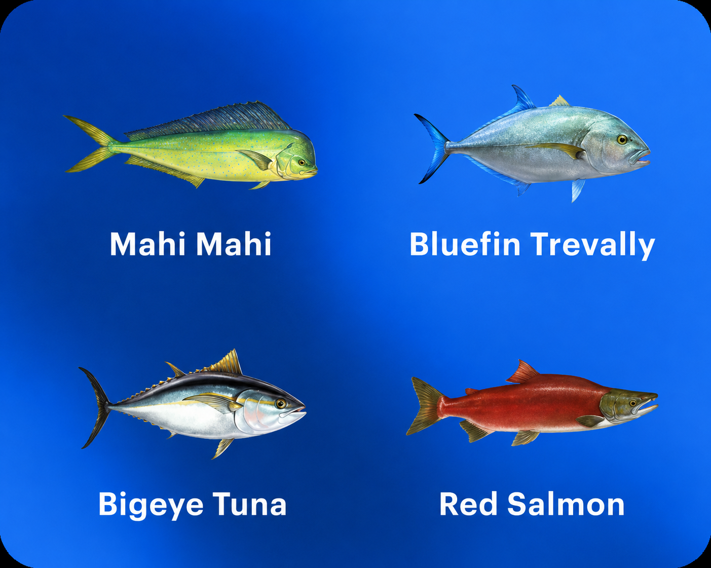
A reference library of species — a description, the lures each one takes, and the techniques that work on it. Read it as the shortlist of species for your spot, or as the full library, searchable by species.
Why it helps
Knowing a spot holds a species is one thing. Knowing what it takes, and how to work it, is what changes the box you pack before you leave.
What to look for
- The spot's own species list first. It's shorter, and it's the realistic set.
- Lures and techniques per species, not only the description.
- The full library when you're planning around a species rather than a place: read it first, then look for water that holds it.
Catch reports
What it is
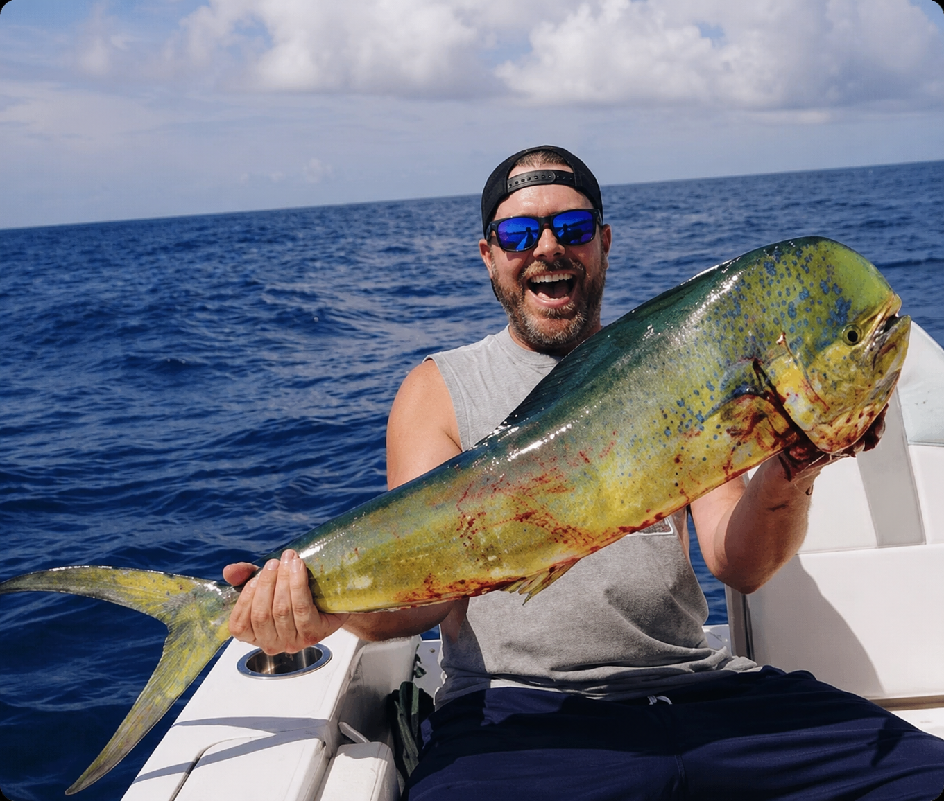
Photos of fish caught at the spot, posted by other anglers.
Why it helps
A human touch in the world of model data. See what was actually caught at the spot, and share your own emotions.
What to look for
- Species and size.
- How recent the reports are. A run of fresh ones means the spot is producing now.
- The background of the photos — bank, boat, structure. It tells you how the place is normally fished.
Spot info
What it is
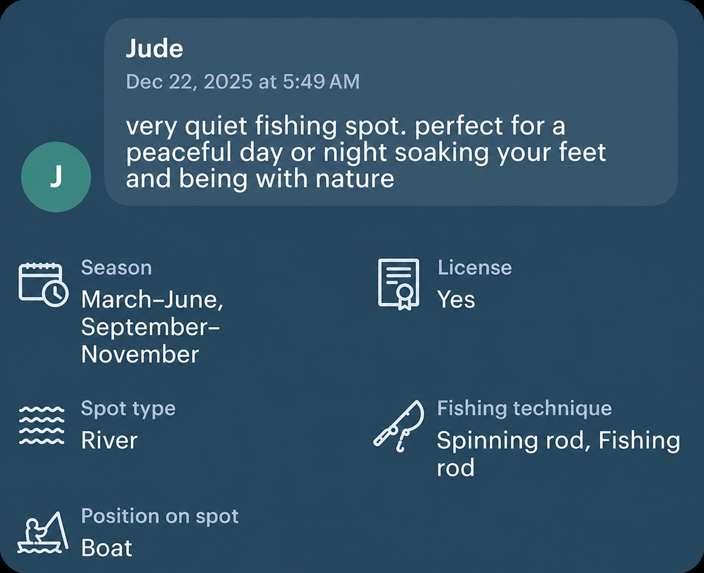
The spot record: spot type, effective fishing techniques, boat or bank access, licence and season, plus written descriptions from real users and Windy.
Why it helps
This tells you what kind of place it is and how it's normally fished — at unfamiliar water, the difference between arriving prepared and arriving to find you needed a boat.
What to look for
- Boat or bank first. It decides whether the trip is possible at all.
- The techniques listed here, against the ones Fish Library gives for your species. Where they agree, you have your method.
- The written description — access, parking, local habits, everything that doesn't fit a field.
Find it on the forecast page of a fishing spot.
↑ All featuresRegulations
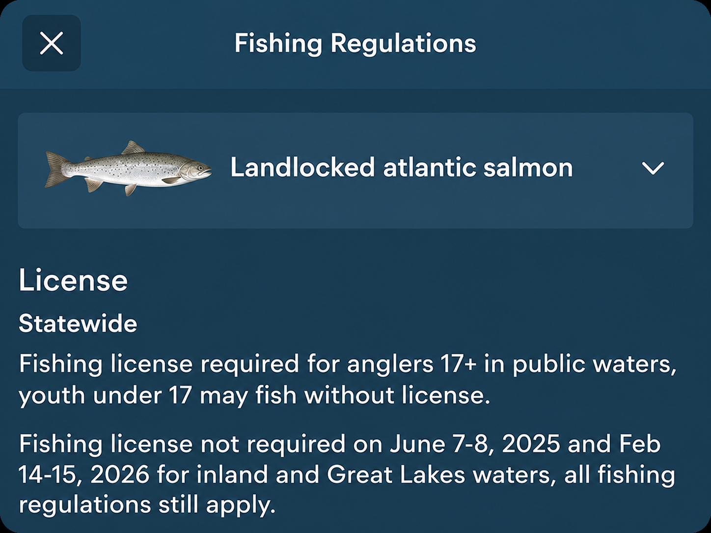
What it is
Season dates, size limits, bag limits and licence requirements, attached to official fishing spots.
Why it helps
Seasons and limits differ by region and by species, and they change from year to year. So they're worth checking even at water you know well.
What to look for
- Season, size limits, bag limits and licence — checked against the species you actually plan to keep.
- For popular spots, a convenient summary is available. For others, this provides a link to the regulations from the official source.
Find them on the forecast page of a fishing spot.
↑ All features