July 2026
US Expert Weather Outlook
What our meteorologists expect this month — and what it means for your outdoor plans.
Choose your region:
⚠️ What to watch
What's going on with temperature
Hotter than normal in much of the West, South & East
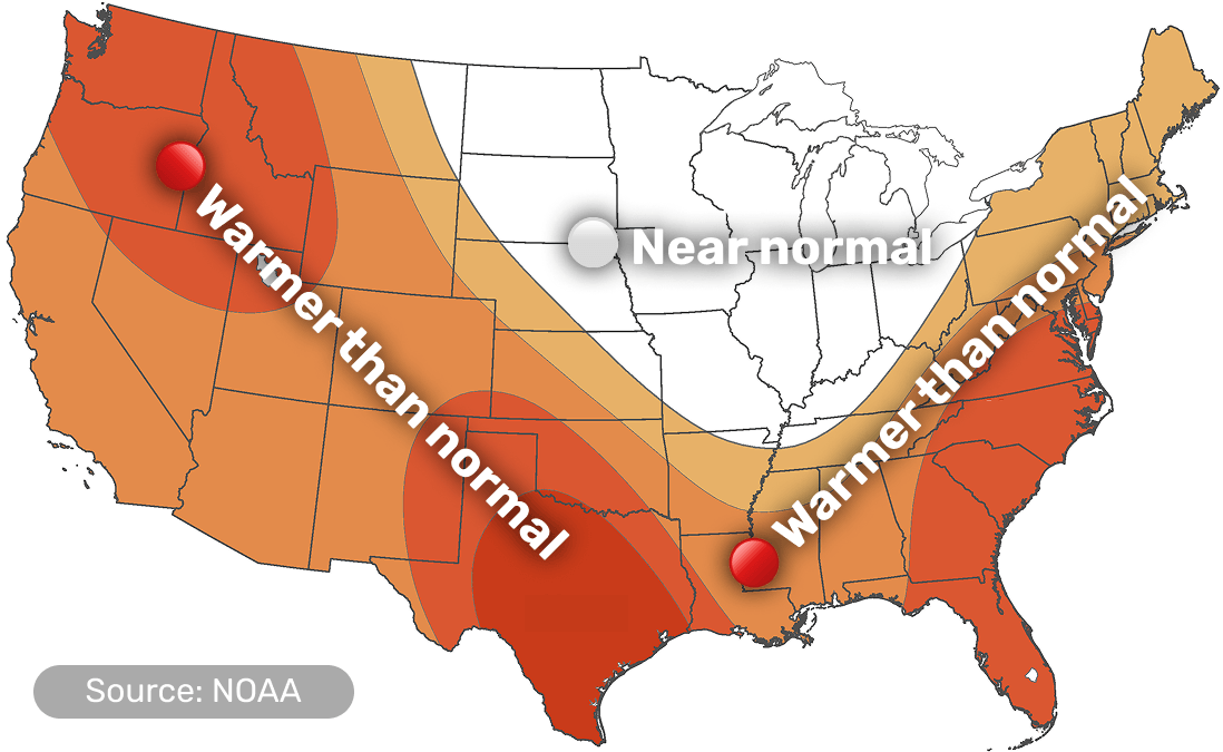
- Warmth is broad-based, but strongest in the South
- Texas is expected to see the strongest heat this month
- For the Upper Midwest, Great Lakes and parts of the northern/central Plains, it's harder to call — temperatures could go either way this month
- Alaska: cooler southwest, warmer northeast
What's going on with precipitation
Wetter interior West — drier Pacific Northwest & Texas–Louisiana
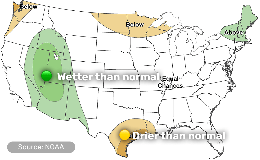
- The clearest wetter-than-normal area is across the Southwest, Intermountain West and Rockies
- Drier-than-normal in the Pacific Northwest, north-central U.S., and parts of southeast Texas and southwest Louisiana
- New England may see a little more rain than usual, but it's less certain here
🤔 Why this is happening
Details by region
Scroll down or tap a region in the menu above.
West
WA, OR, CA, NV, ID, UT, AZ, CO, NM
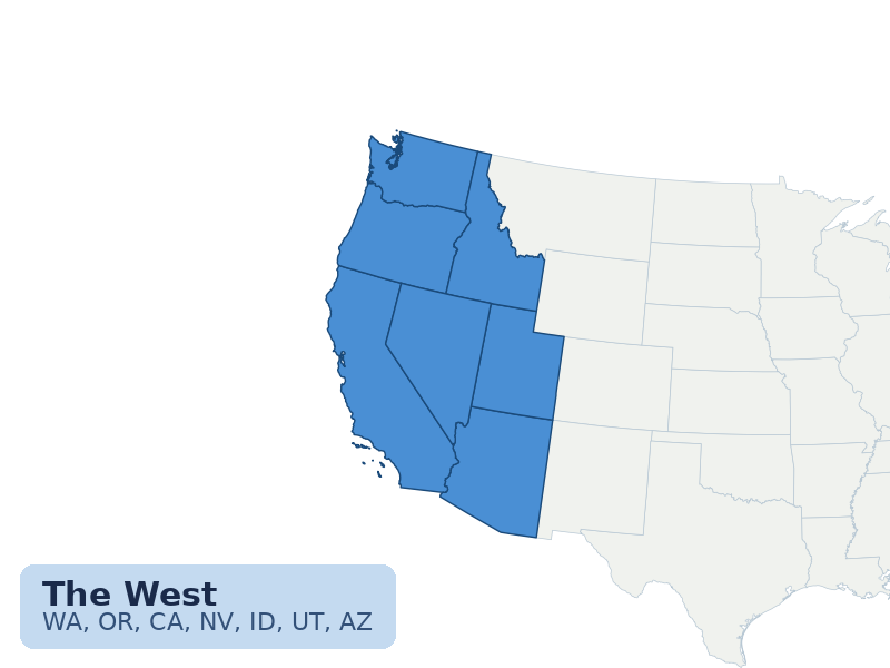
🔥 Very warm July, but not the same everywhere
- Warmer-than-normal for most of the West
- Pacific Northwest and inland Northwest lean drier
- Monsoon storms become more active farther inland
- Wildfire and drought concerns stay elevated in the Northwest, Great Basin and Four Corners
🤔 Why this is happening
Northern Rockies & Northern Plains
MT, WY, ND, SD
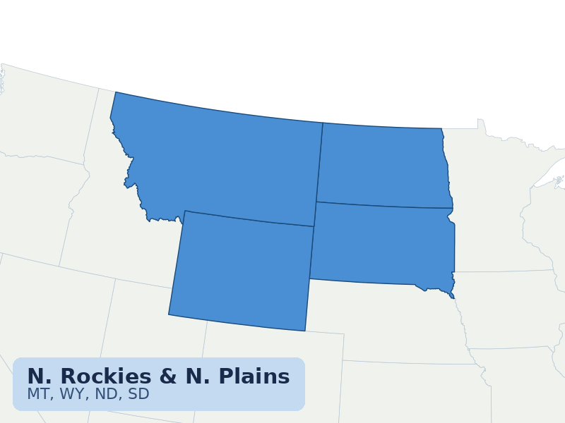
🌤️ Warm Rockies, drier Northern Plains
- Montana and Wyoming are expected to see the warmest temperatures
- The Dakotas are harder to predict this month
- Northern Plains lean drier than normal
- Drought may persist or develop where storms miss
🤔 Why this is happening
Midwest / Great Lakes / Ohio Valley
MN, WI, MI, IL, IN, OH, northern IA
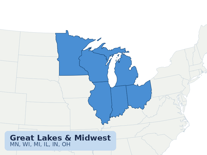
☁️ Heat early, storms at times, uncertainty later
- Dangerous heat is possible early in July
- Later in the month, temperatures look closer to normal
- The clearest dry lean is near the Upper Midwest
🤔 Why this is happening
Central Plains
NE, KS, MO, southern IA
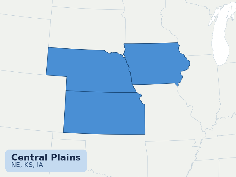
⛅ Transition Zone
- Temperatures lean near-normal to above-normal
- Rainfall signals are mixed
- Heat can build quickly when the ridge expands
🤔 Why this is happening
South
TX, OK, AR, LA, MS, AL, TN, KY
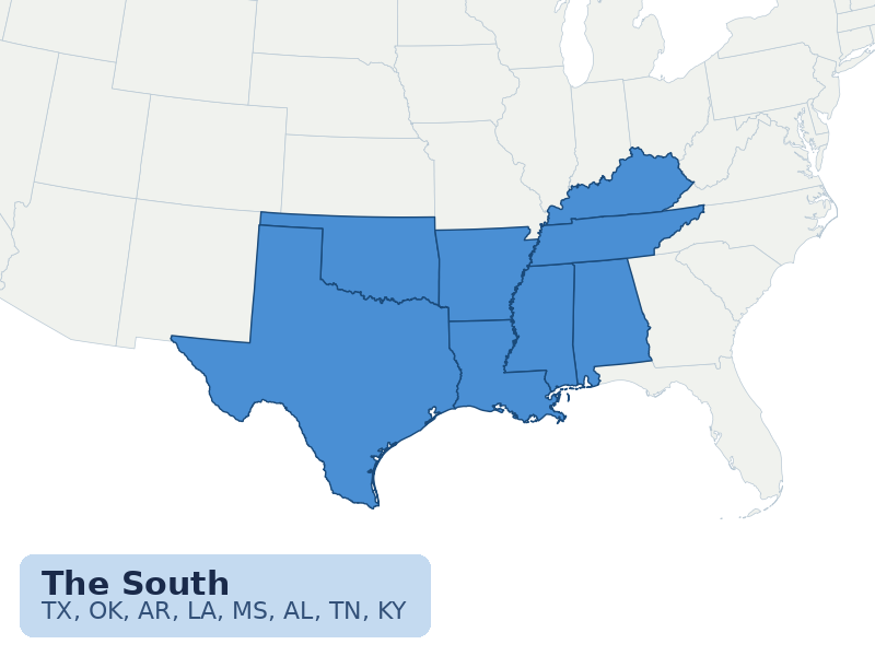
🌡️ Heat is the main story
- Texas has one of the strongest warm signals in the country
- Dangerous heat may continue even after the Midwest and East heat eases
- Southeastern Texas into western Louisiana leans drier
- Drought concerns remain focused in parts of Texas and Oklahoma
🤔 Why this is happening
Southeast & Gulf Coast
GA, FL, SC, NC
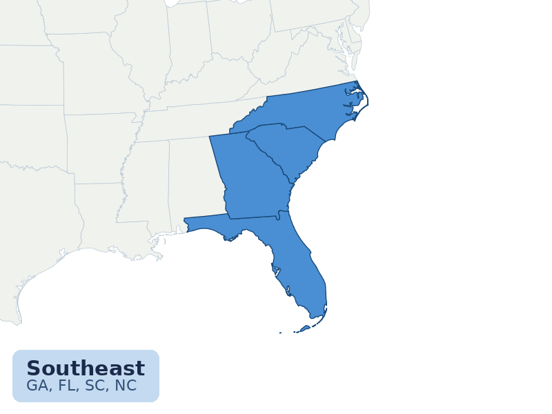
☁️ Hot, humid and stormy — but drought risk is uneven
- Warmer-than-normal July is favored
- Frequent afternoon storms are likely, especially in Florida
- Rainfall may be very uneven
- Some drought relief is possible where storms repeat
🤔 Why this is happening
Northeast & Mid-Atlantic
NY, PA, NJ, CT, RI, MA, VT, NH, ME, MD, DE, VA, WV

☁️ Warm East, with New England more likely to see extra rain
- Above-normal temperatures are favored
- Early July heat may be significant
- Storms may ride around the edge of the heat dome
- New England is most likely to see extra rain