Avoid rain and thunderstorms
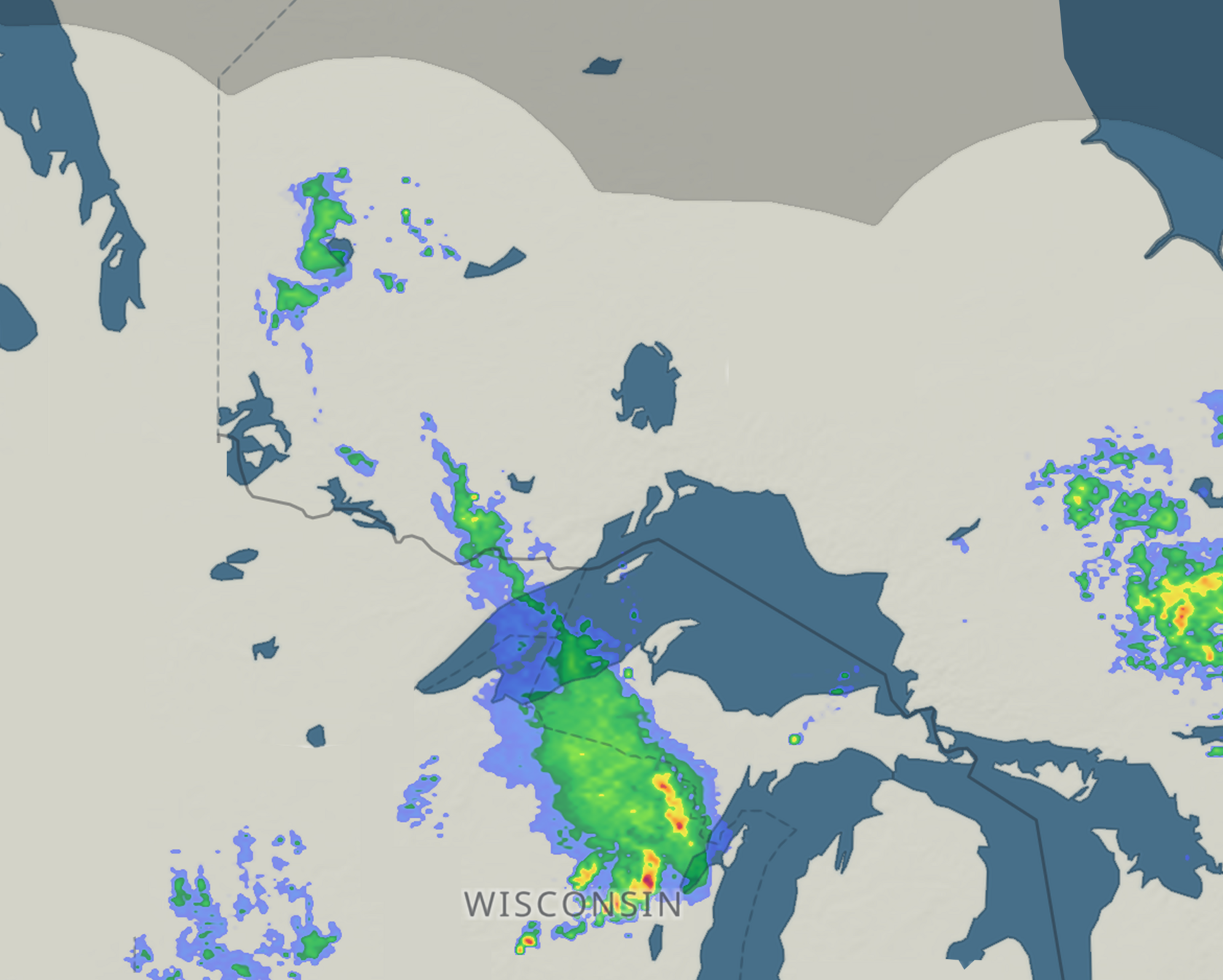
Check the rain radar before you head out — it's more up-to-date than the forecast.
No data
No rain
No rain
Light
rain
rain
Moderate
rain
rain
Thunder
storms
storms
Thunder
storms
storms
Watch rain move in real time, followed by a 2-hour prediction.
Check radar now
Explore other tools
Avoid surprises: recheck the forecast before heading out
Models update every ~6 hours. The forecast you checked this morning may already be outdated.
📸 Image: forecast table with model update times
Look for the most recently updated model — shown below the forecast table. HRRR updated 15 min ago beats ECMWF updated 15 h ago.
When timing matters, switch from 3-hour to 1-hour steps. Fresh data + finer resolution = much easier planning.
Open the nearest spot
See the latest forecast
Check the radar too
See rain right now
The full Windy guide to weather