-
 Rain or storm coming your way?
Radar shows it live — here's how ➡️ -
 Where's the rain?
- Colors = rain
- No color = clear sky
- Grey = no radar coverage
-
 Will it hit you?
Tap play
→ Track the last 2 hours
→ See what's coming next
-
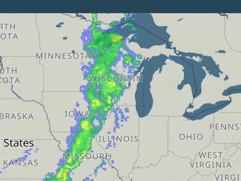
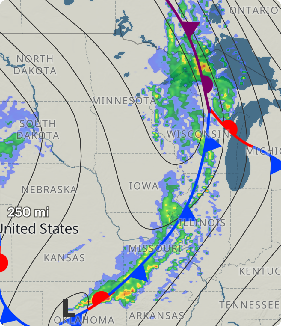 A long line = a front
It moves fast. Expect wind shifts, temperature drops, and very likely — thunderstorms.
-
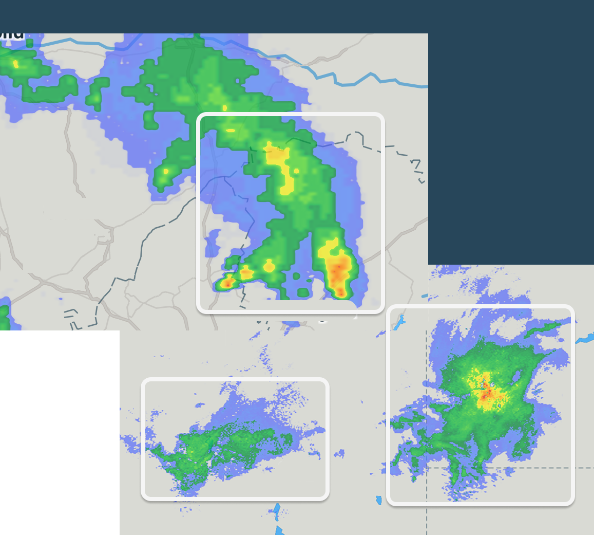 Scattered "bubbles" = isolated storms.Lightning, heavy rain, hail, squalls. Radar helps you track them in real-time.
 -
 Growing or shrinking?Growing storms = intensifying storms. Watch the animation to spot them.
 -
 When to check the radar
Anytime you're out in the open, especially if you notice:
• heat building up
• gusty wind
• scattered showers nearby