-
Which forecast model should you choose?
Depends on how far ahead you're planning.
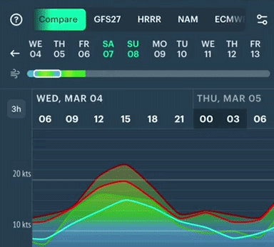
Swipe back and forth to explore available models and choose one for now→ -
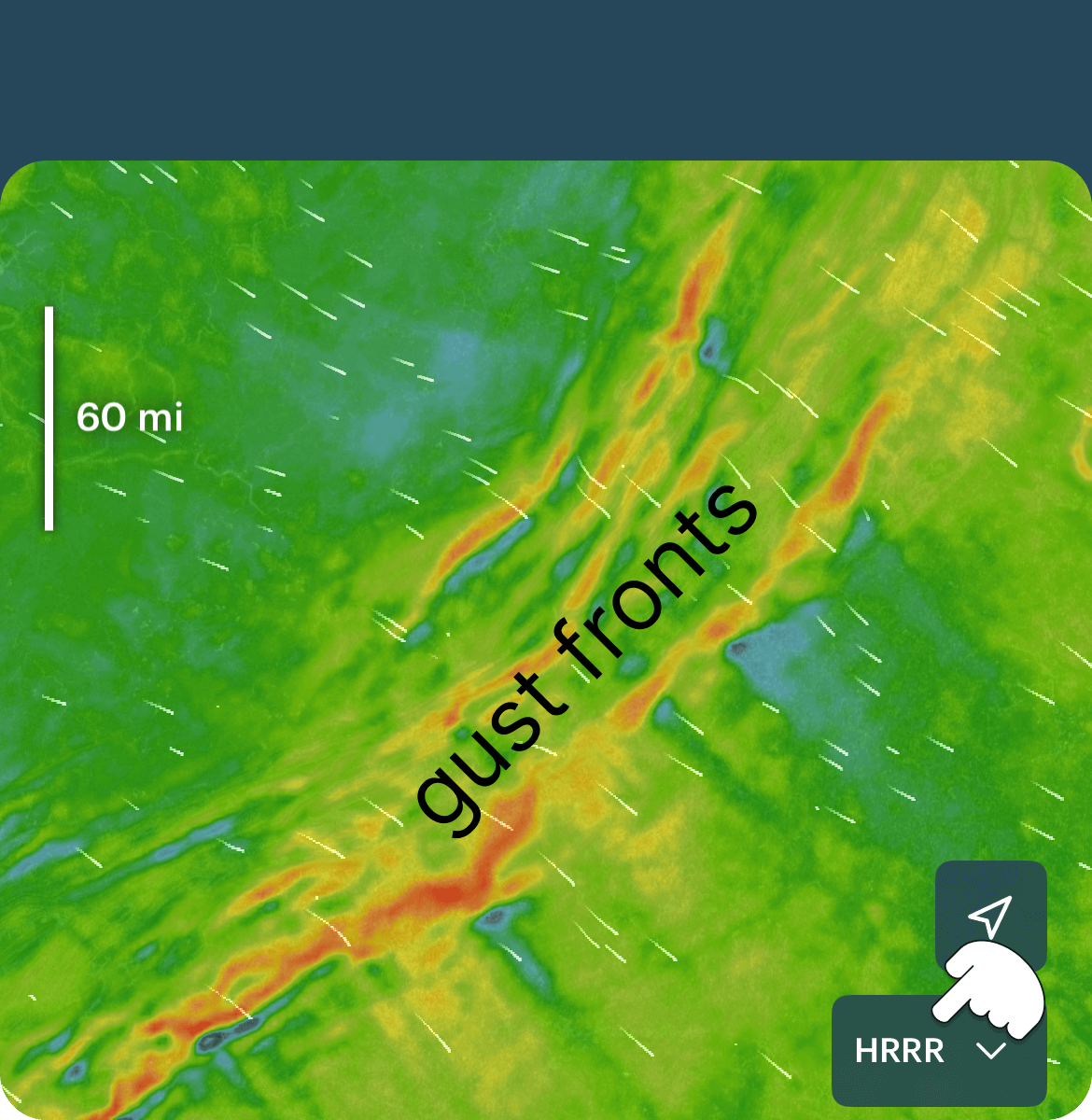 0–24 hours ahead
HRRR will show:• Thunderstorms popping up
• Squall lines & gust fronts
• Sea breeze timing
-
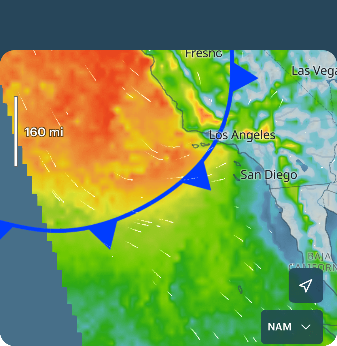 1–3 days ahead
NAM will show:• A cold front coming through
• Wind building before the front & shifting after
• Weekend wind setup
-
 3–7 days ahead
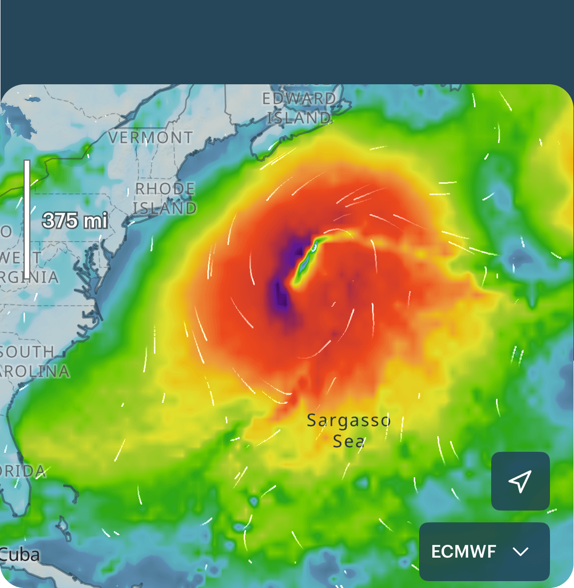
ECMWF will show:• Large storms' paths
• A Nor’easter forming
• Hurricane/tropical paths
• Weather for multi-day trips
-
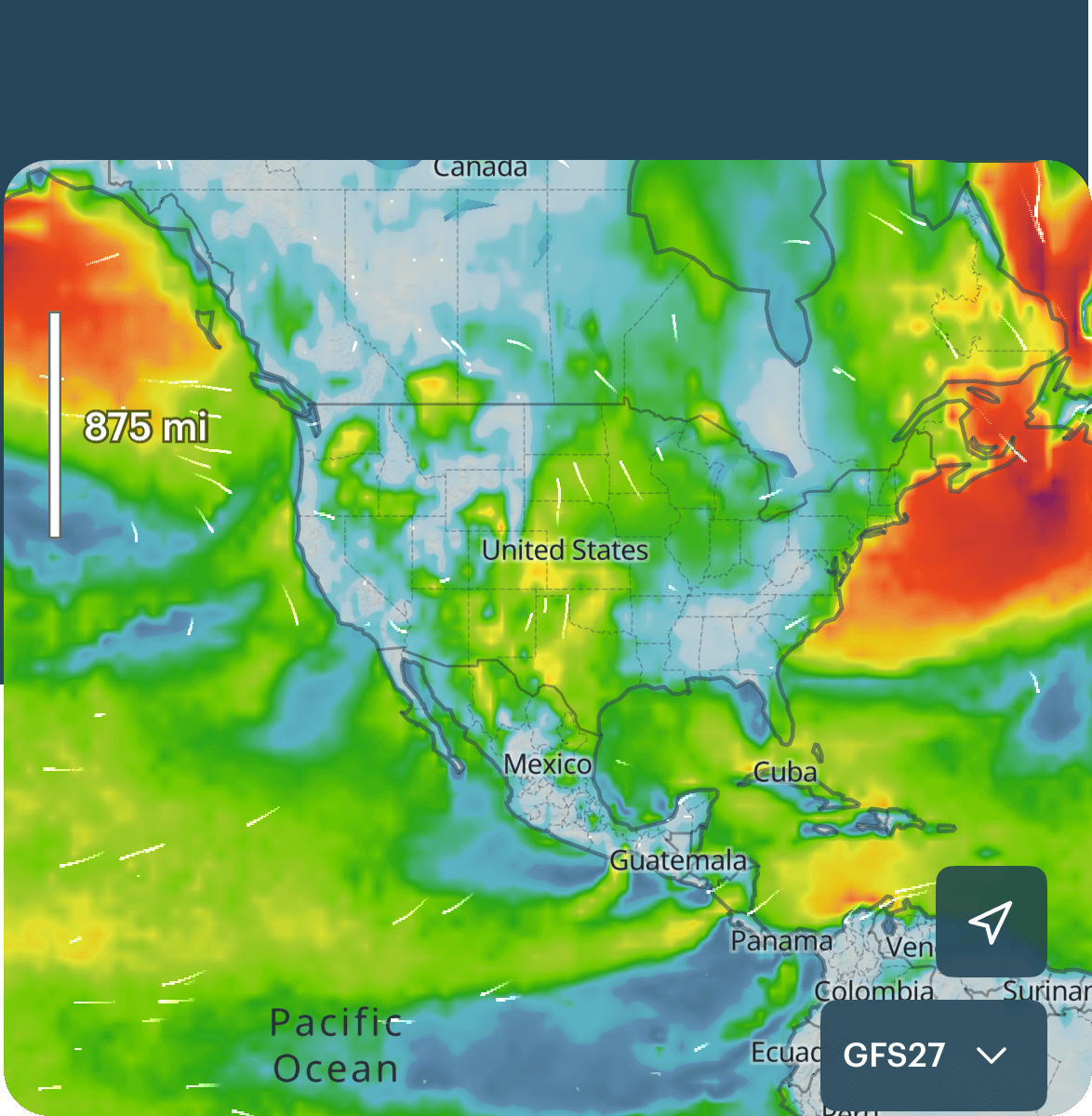 7–10 days ahead
GFS will show:• Long-range wind trends
• If a system is developing
• Next week’s weather window
-
Recap
For today, use→ HRRR
Next 1–3 days → NAM
Next week pattern → ECMWF
Long-range trends → GFS