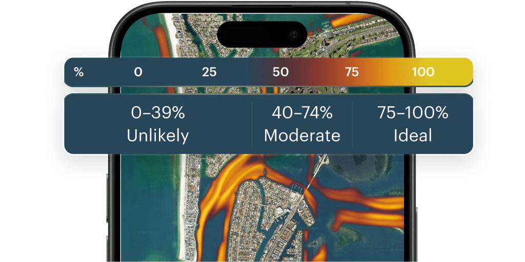
Fish Heatmap is a visual layer on the map that shows the fish habitat at specific area
How the fish heatmap works
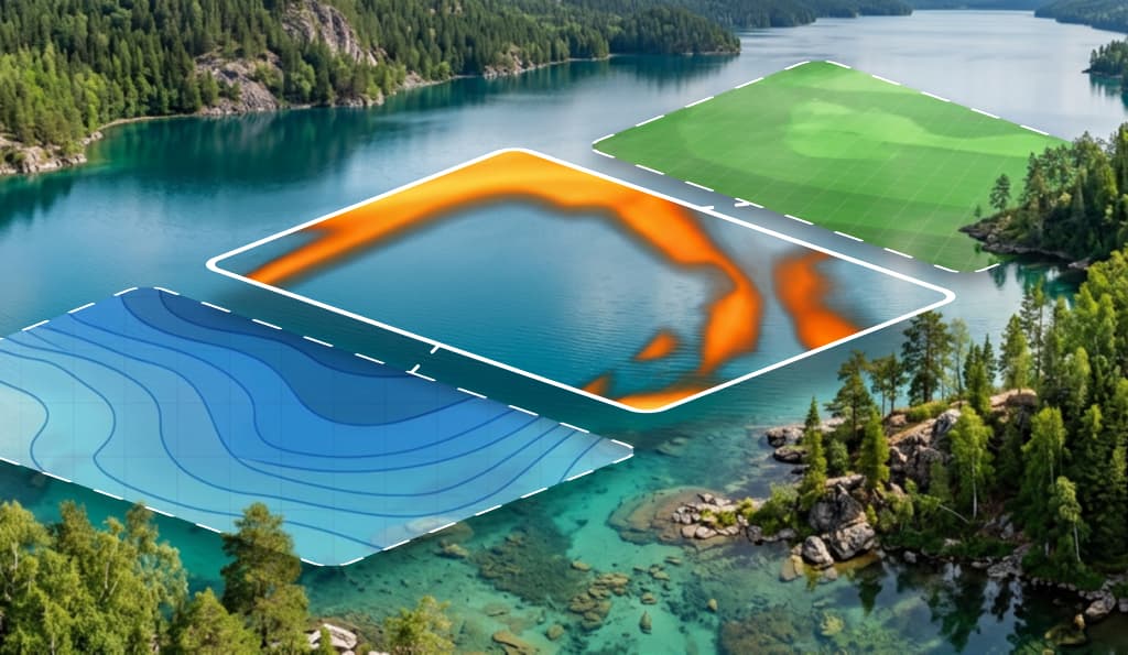
It is an intelligent location analysis system. This takes the bathymetry and satellite data, and then transfers them to the map.
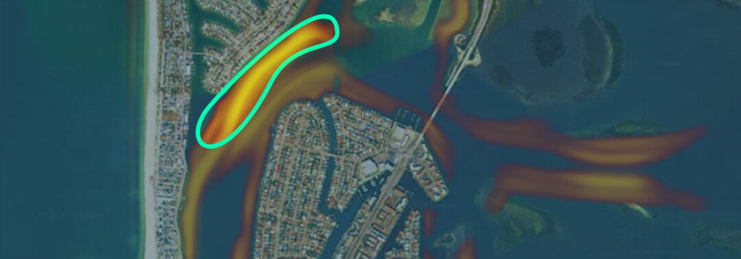
- Look for the most saturated yellow zones on the map. They are usually tied to the terrain: brows, shallow water (when the water warms up), or leeward shores.
- Tap on a specific point on the map to open a detailed view
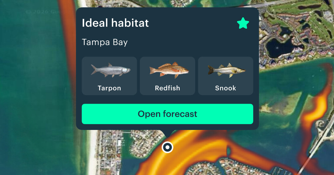
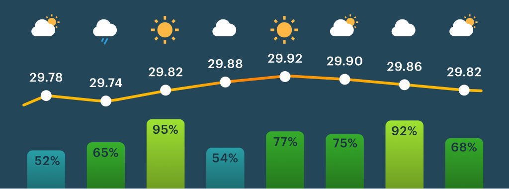
- Open the forecast to view the weather conditions and fish activity on the right day