Windy.AppBase map
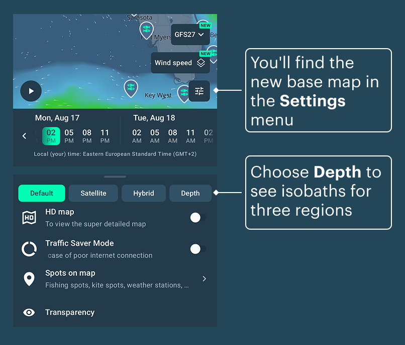
Depth charts
Look deeper — the seafloor is now on your map across the USA, the EU and Australia.
Isobaths (or isolines) built from individual depth soundings collected by NOAA, AusSeabed and EMODnet These charts are for reference only and must not be used for navigation. Always rely on official nautical charts and an echo sounder to stay safe on the water.