See what’s under the water
Bathymetry shows the depth and shape of the bottom right on the map. Find sharp drop-offs and pick a precise spot for fishing, at sea and on lakes.
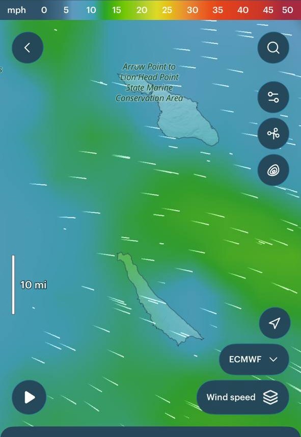
Tap the bathymetry button.
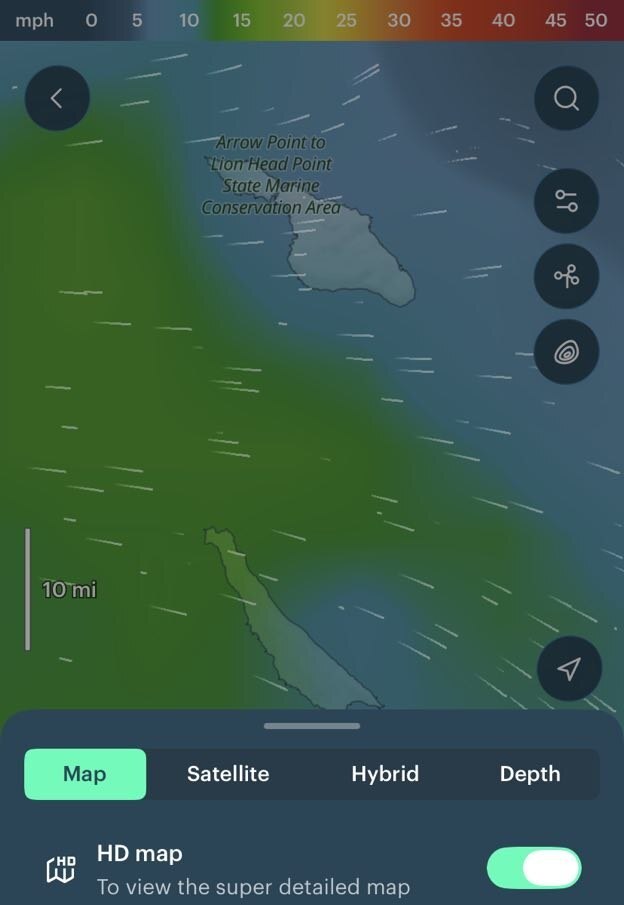 1 2
- 1Tap map settings.
- 2Choose Depth.
Once it’s on, you get several levels of detail. What you see depends on where you are and how far you zoom in.
Global sea depth map
Seas and oceans all over the world are now shaded by depth: the darker the colour, the deeper the water. Shadows show how steep the bottom is. For fishing, look for the heavily shaded areas, where the bottom drops sharply. Depth shading is available only in No layers mode.
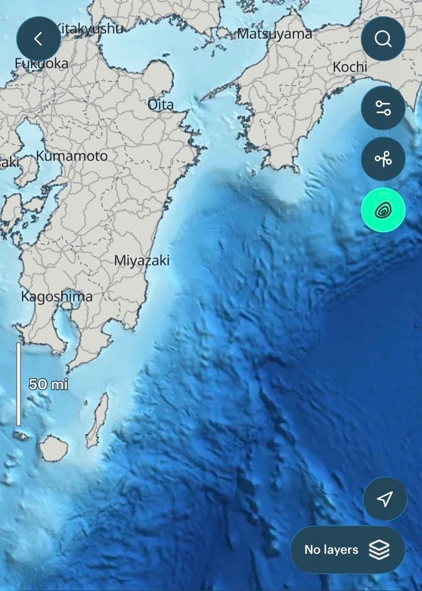
Darker is deeper. Shadows show the slope of the seabed.
Depth contours near the coast
Along the coasts of the US, Canada, Europe and Australia, depth contours (isobaths) appear as you zoom in. They are more detailed than the shading and show finer changes in depth, so you can choose a specific place. On US coasts, navigation marks are shown too.
Where depth contours are available.
Not for navigation. Even where navigation marks are shown, the bathymetry itself is not meant for navigating.
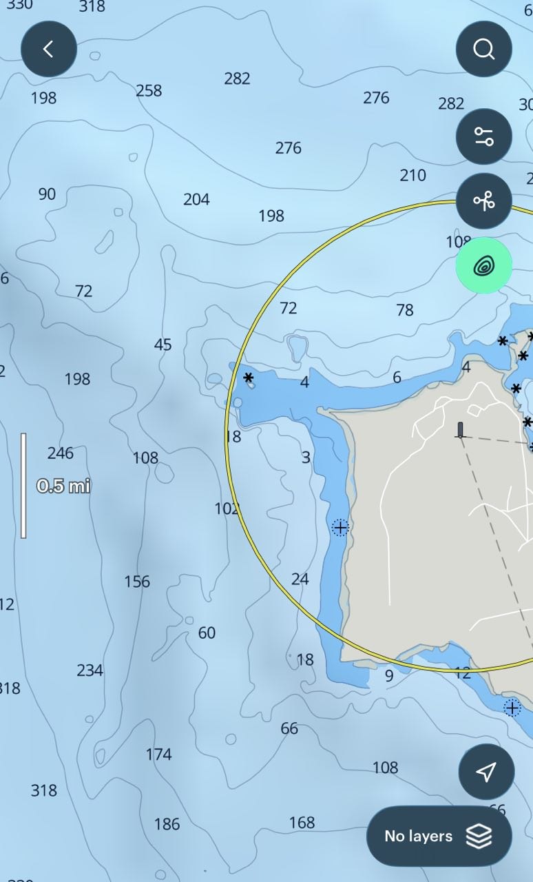
Depth contours with depth values near the shore.
Lakes and reservoirs
Freshwater is covered too, for individual lakes and reservoirs in the US, Canada and Europe. You’ll see them only when you zoom in close, and not every lake or reservoir is included.
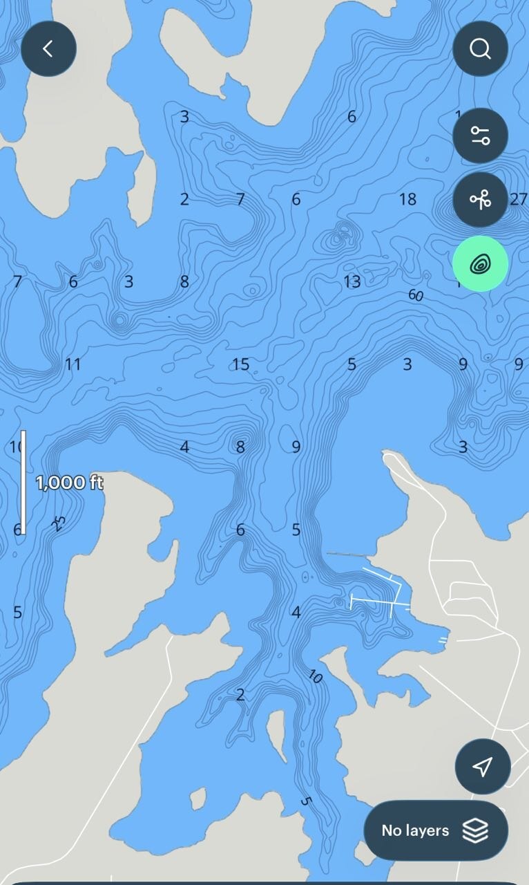
A lake with detailed depth contours.
Bathymetry and weather layers
You can keep bathymetry on and add a weather layer on top of it. Or look at the depths on their own by choosing No layers. Depth shading is available only in No layers mode.
Is there bathymetry in your area?
Open the map, turn on bathymetry and zoom in to your fishing spot to check what’s available.
Open the map