How to open and read:
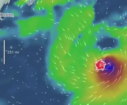
The icon marks the hurricane’s center and is always on the map. Tap a center icon to see its “cone” and track, then tap the map to go back.

The past is black, present and future - red. Click on the pins to view wind and pressure.

Press “Play” to watch the expected path of the hurricane.
Forecast outlook and coverage:
Forecasts come from NHC & ECMWF, giving a global outlook up to 12 days ahead.
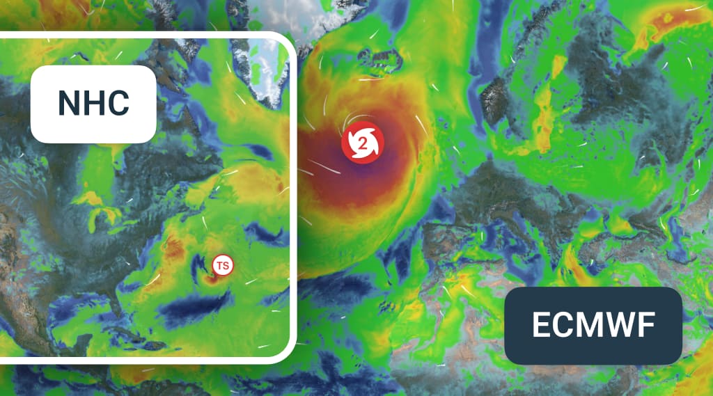
NHC is the default in its regions for accuracy.
From day 6, forecasts come only from ECMWF.
From day 6, forecasts come only from ECMWF.
Forecast
NHC
ECMWF
Period
5 days
12 days
Updates
6 h, 3 h with an active storm
12 hours
Coverage
Atlantic, West, Central pacific
Global
When planning, keep in mind:
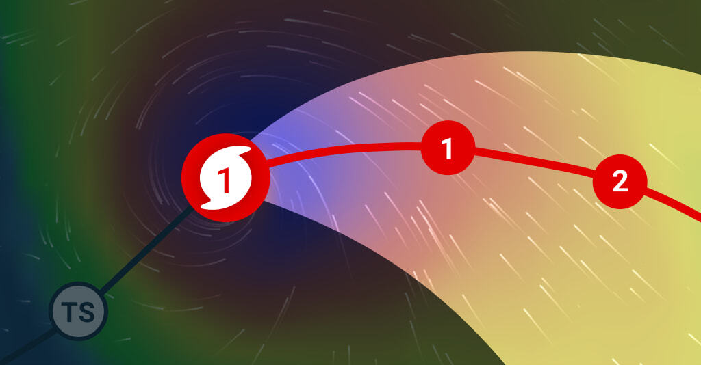
- Hazards (wind, rain, flooding, surge) can extend hundreds of km beyond the cone.
- The cone shows the probable path of the storm’s center — not its size.
- Tracks can shift 50–150 miles in 24 hours — check the forecast regularly.
Categories by wind speed:
⚠️ Most outdoor sports are unsafe from Tropical Storm strength; small boats and kites can be at risk even in weaker winds.

Tropical Depression
mph
< 38
km/h
< 62

Tropical Storm
39–73
63–118

Category 1
74–95
119–153

Category 2
96–110
154–177

Category 3
111–129
178–208

Category 4
130–156
209–251

Category 5
> 157
> 252